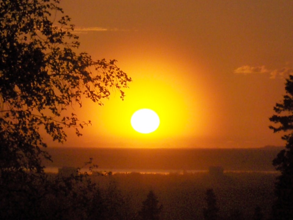
Sunset over Far North Bicentennial Park
 The top of Spencer loop, the best ski trail in Anchorage.
 Sunset over Far North Bicentennial ParkThe top of Spencer loop, the best ski trail in Anchorage.


 The bull moose were hanging out in the high country today. This one was a 12x12. We saw two other large bull moose heading over a 4000 foot high pass East of Mt. Magnificent, obviously heading for the cover at lower altitude in the Eagle River valley.
 Traversing up from Mile High Saddle, we started getting into more and more snow. The valley below us (at about 2500 feet) didn't have much snow on the way up. On the way down, everything was covered in an additional 4-6 inches of new snow.
 The Mt. Magnificent ridge looking back towards Eagle River.
 Here is Amy traversing towards the summit of Mt. Magnificent. What is an easy hike and scramble in the summer is made trecherous by snow covered and icy rocks. Being unable to discern the quality of the surface underneath the snow made us traverse with ice-axes even though the terrain was only about 40 degrees. Even then we had some scary episodes where the ice ax would loose purchase on slick-rock.
 Turnaraound point at ~4800 feet. Peak 5331 can be seen in the background. With 1-2 feet of snow, out progress had slowed to a crawl. We would have used another 1 1/2 hour from here to the summit of Significant. With deteriorating weather, we decided to turn around and head back. What took 5 1/2 hours up took almost 4 hours back down. We made it to the car just as daylight was disappearing.
 Trond looking down the ridge we came up. Mt. Magnificent can be seen far below of the ridge to the right.
 View of Whittier and Passage Canal from about 2500 foot elevation on Mt Maynard.
 Looking South across moonlandscape at about 3000 foot elevation on Mt. Maynard
 Self-portrait with false summit of Mt Maynard in the background
 Looking South along the summit ridge with the Kenai Mountains in the distance
 The summit ridge was fairly narrow and snow-covered holes between boulders made it extra fun.
  The West face glacier with Portage Lake in the background
 The final part of the summit ridge with the true summit being the far one.
 Passage canal and Prince William Sound in the sunset.
 Bard Peak (center) , Shakespare Shoulder (left) and the Whittier Glacier in the background.
 Shakespare Shoulder (3517 feet) and Bard Peak (~3800 feet) are on my list for next year.
 Looking North towards Learnard Mt (?) in the sunset.
 This being late September, the days are getting much shorter. I failed to take that fully into account and ended up hiking out in the dark.
 Northern panorama from the summit of Mt Maynard. Learnard glacier and Mt. Learnard make up the forground and the high Chugach mountains can be seen in the background.
 Southern panorama from the summit of Mt Maynard. The Kenai mountains and the Harding Icefield are prominent in the center with the most prominent summit being Carpathian peak which sits at the head of the Portage glacier.
 Looking up towards East Twin (5873 feet) and the snowline at about 4000 feet)
 Not much snow, just enough to make it interesting. Winter is definitely coming.
 My route and highpoint on East Twin this day. One learning from this trip is that I need to drop into the main couloir lower on the mountain.
 East (right) and West Twin peaks.
 Fall colors below the Twin Peaks.
 Twin Peaks creek.
 Parting shot of the Twin Peaks.
 The Twin Peaks trail in fall shroud.
 Thorsten and Susanne on our short friday hike up the Tripple Lakes trail.
 Mount Brooks (11940 ft) in the Alaska range (neighbor to Mt. McKinley).
 Mt. Brooks and the lower part of Mt. McKinley from Wonder Lake.
 Another shot of the K2 look-alike Mt. Brooks. I'd like to climb this mountain some day.
 A view of the Alaska Range over the McKinley River and the terminus of the Muldrow glacier.
 Another shot across the McKinley river bar.
 Denali - "the great one". The north summit is clearly visible in the middle of the photo while the slightly higher south summit is partially obscured by clouds.
 Susanne and Thorsten on our Sunday hike up to Healy Pt.
 Trond with Mt. Healy in the background.
 Claudia and Jose bundled up in the windy and chilly September wind. Mt. Healy is the highpoint on the background horizon.
 Fall colors looking NW into the Hines Creek drainage (start of Denali National Park).
 Alaska range seen across the McKinley River bar from the Denali Park Highway. Mount Mather is seen on the left, Mt Brooks in the center and Mt. McKinley to the right.