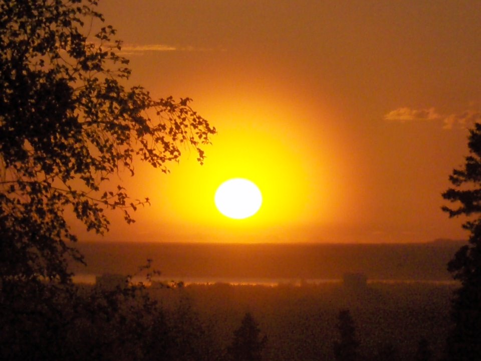
July 5th, 2009
On a lovely and warm July 4th, I headed up South Fork Eagle River with an eye on climbing either Eagle Peak or Calliope Mnt, depending on conditions. The weather was holding and the snow on Calliope looked to be in good shape, so I decided on trying Calliope the next morning.
 Ptarmigan 'mama' leadnig me away from her chicks.
 South Fork Eagle River above Eagle Lake. Eagle Peak (6955 ft) is the prominent peak in the background.
 Dall sheep on the tundra.
 Lower reaches of valley between Cantata Peak (6410 ft) and Calliope
 Hanging valley leading to Calliope-Cantata col.
 At Calliope-Cantata col looking WNW. Triangle Peak (5455 ft) is rounded peak on left.
 Looking back down hanging valley between Cantata and Calliope.
 Calliope summit shot with Eagle Peak in the background.
 Looking NW down the South Fork Eagle River drainage. Cantata Peak is on the right.
 The ~40 degree snowfield leading back down to the Calliope-Cantata col. The snow was fairly soft and I was uneasy about slush avalanches so I only spent a minimal 10 minutes on the summit. On the East face of Calliope I actually set of a couple of smaller slush slides so I wanted to head back down and across the snowfield before it got too warm.
 Looking back up at the Calliope WNW face snowfield. The rounte follows the ridge from the Calliope-Cantata col to the snowfield directly below the rock island. I went straight up and around the rock island to the summit ridge (~800 feet vertical on the snow) to minimize my exposure.
 The Calliope WNW face.
 Upper reaches of South Fork Eagle River looking down towards Eagle Lake.
 The waterfalls of South Fork Eagle River leading down from Flute Glacier.
 Eagle Lake with Eagle Peak in the distance.
 Cantata (center left), Calliope (center) and Triangle (center right) peaks bracketed by the lush South Fork Eage River valley.
 Panorama from the Calliope summit frmo NW to SE. Foreground peaks from left to right are Cantata (6410), Eagle (6955), Polar Bear (6614), Organ (6980) and Flute (6610). Many more of the Eagle River valley and high Chugach peaks are visible in the distance.