Trond Flagstad and Trond Jensen
April 13th, 2012
53 kms, 5 hours.
Twenty Mile Valley

GPS track of our route in to Upper Carmen Creek from the Seward Highway. The strech from kms 5 to 8 was slow going along the west bank of the Twenty Mile River. Otherwise, the skiing was a good mix of open areas and alder forrest. Carmen Lake and the Upper Carmen Creek offered the best skiing.

Not all the way was easy going. 3-4 places along the Twenty Mile River we would have to take skis off and hike along the bank.

Twenty Mile river crossing on last remnant of winter ice.

Flats between Twenty Mile and Glacier Rivers. Blueberry Hill in the Background (see http://trondsalaskaadventures.blogspot.com/2011/08/blueberry-hill.html)

Looking West across Carmen Lake

Carmen Pass. On the other side of the pass it drops steeply down to Billings Creek and Passage Canal East of Whittier.

Upper reaches of Upper Carmen valley. Carmen Glacier?

Carmen Lake

Carmen Creek below Carmen Lake

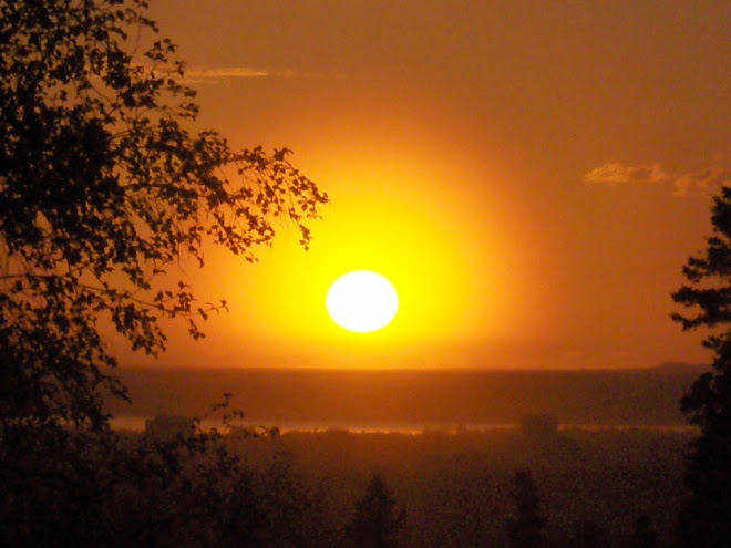
Lots of wildlife in Twenty mile - moose, bald eagles and trumpeter swans.

Lower couple of miles in the lower Twenty Mile valley.

Panorama looking West down the Upper Carmen Valley.

No comments:
Post a Comment