The trip started from Cusco with a 3 day acclimatization trek around Nevado Salcantay with the obligatory stop at Macchu Picchu. We then headed to the Arequipa to climb El Misti, Ampato and Coropuna. Rest day activities included viewing condors at the Colca Canyon and pre-Inca petroglyphs at Toro Muerto in the Majes Valley.
Nevado Salcantay (6271 m/20574 ft) seen from the Salcantay pass (4640 m/15220ft) (http://en.wikipedia.org/wiki/Salcantay)

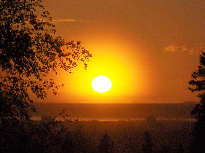
Early morning view of Macchu Picchu before the turist hordes arive (http://en.wikipedia.org/wiki/Macchu_Picchu)

On May 20th, Geir Ulstein and I summited El Misti (5822 m/19101 ft), a prominent volcano outside Arequipa. http://en.wikipedia.org/wiki/El_Misti

The crater of El Misti, 400 m across, 250 m deep.

The inner fumarole of El Misti, colored yellow-green by sulphur deposits. The air had a disinct smell of sulphur.

We summited Ampato (6288 m/20630 ft)/on Wednesday, 5/23. 4:20 from camp to summit, 3:10 on the return. What a great climb! http://en.wikipedia.org/wiki/Ampato
We started out from camp (~5150 m) at 4:20 am and summited (6288 m) at 8:40 am. Heading up the slope of Ampato below the glacier. Large avalance cones winessed of large snowfalls this season. The climb is technically straight forward, with maximum steepness of around 50 degrees. We oly roped up for the summit plateau (possible crevasses) and the final summit slope (avalanche prone).

Eastward panorama from Ampato summit.

Westward panorama from Ampato summit (courtesy Geir Ulstein).

Panorama of Ampato crater rim and summit from "summit plateau".

After Ampato and a rest day in Culca Valley, Geir headed back to Norway and I headed to Coropuna (6425 m/21079 ft), my last objetive on this trip. Coropuna is massive and the tallest in the Arequipa area. http://en.wikipedia.org/wiki/Coropuna
Coropuna has three true summits, the highest being 6425 m as seen on the left side in the panorama below. The high camp is situated on the plateau to the left of the West Ridge (left hand side of photo) and the route heads up the left hand side skyline ridge. The climb is technically straightforward, averaging about 45 degress and has a long summit plateau that must be crossed before getting to the summit proper.

Coropuna high camp at 5570 m.