On August 7th I flew to Nome for 5 days of mountain biking along the Nome-Teller "highway" on the Seward Peninsula in Western Alaska with the Inupiat village of Teller as the goal of the trip (http://en.wikipedia.org/wiki/Teller,_Alaska). I logged a total of 173 miles in 18'40" over 5 days in the best weather imaginable. An ascent of Grand Singatook (3870 feet) was also included in the schedule. The weather was clear and sunny every day (except with some sea fog thrown in the last day) and the temperatures ranged from ~40 degrees at night to ~65 degrees during the day.
I could camp pretty much anywhere on the tundra, although the tundra is not as flat as it seems at first glance. Also, finding a spot away from standing water and with some breeze alleviated the mosquito situation somewhat. Finding good water was not a problem and a part of the time I would drink the water right out of the mountain streams.
The road conditions where variable but mostly quite good. I encountered everything from hardpacked smooth dirt surface (almost like blacktop) to pebbly crap that slowed me down to 2 mph.
 Ready to start from Nome. Everything was packed into 2 panniers at the back of my mountain bike.

Air America.
 The terrain consisted mostly of long rolling hills, 2 miles up, then 2 miles down into the next drainage.
 Camp on the first night with Grand Singatook in the background. Notice the mosquito net ... and I am usually not bothered much by mosquitos ...
 Not much wildlife to see on this trip. A spider, quite a few ptarmigans, and some ducks. But no musk-ox, reindeer, caribou, bears or other. What's happened to the wildlife up here?
 On the summit of Grand Singatook. It was actually a more strenuous climb than I had envisioned and it took me amost 2 hours from camp to the summit. Half of the climbing was through huge boulder fields with unstable boulders ... oh, what fun!
 On the summit of Grand Singatook .... remnants of a cold war listening stations
 The view to the West from Singatook towards Wolley Lagoon.
 Part of the climb was through dessert like terrain with great granite boulders.
 McAdams Creek.
 Mining barge by Sullivan Camp along the Gold Run Creek.
 Second day camp site overlooking Teller, Grantley Harbor and Port Clarence.
 City of Teller.
 A one road town, if you can call it that.
 Political campaigns make it to the bush.
 The usual display of mechanical art.
 Point Teller.
 Teller Commercial ... like most other businesses in Teller ... "Gone Fishing" permanently.
 Main street Teller.
 Salmon drying racks.
 Typical vistas and road conditions along the Nome-Teller highway.
 Little (on the left) and Grand Singatook.
 Woolley Lagoon fishing camp.
 Third day camp. I was going to camp on the beach by the Bering Sea, but was unable to get across the lagoon to the ocean side. This was still a neat camp-site with the sound of the Bering sea crashing against the beach all night.
 Evening ...
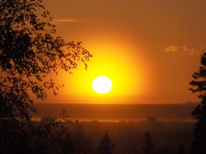
 and sunset over Woolley Lagoon. And the sunset was at 11:45 pm.
 Not much wildlife was seen on this trip. But this little feller (an Arctic Loon) visited my camp on the fourth day.
 Along with four days of great weather came the sea fog. But there was blue sky landwards, and as soon as I got 4-5 miles inland, the fog was gone. Notice the road surface here ... loose, fist-size pebbles and rocks ... "interesting" to bike on with panniers on the back of the bike to make it heavier and less responsive.
 Road markers set up by the natives ... they are obviously used to heavy fog in this area. The road to Woolley Lagoon had one of these markers about every 100 yards.
 The sockeye run in the Sinuk River was some of the strongest I've seen. Myriads of nice looking sockeyes going up towards the Glacial Lake (original name, I know).
 And this is why we shouldn't drive our 4 wheel drive vehicles on the tundra ... any other questions?
 Panorama from Grand Singatook looking North.