August 30th, 2008
On one of the best days of the 2008 summer, I flew with Kimball Forrest in his helicopter from Anchorage to the Kichatna Mountains in the Eastern part of the Alaska Range with a return around the Tordrillo mountians. The photos attempt to portray the phenomenal vistas and nature seen in this part of Alaska.
Departure from Merrill Field on August 30th, 2008, under a clear blue sky.
 First landing was on the Tatina river to check out John Spencer's old sheep hunting cabin.
 Not much left of the cabin though. Heavy snows must have been too much for the small log cabin.
 Checking out the insides ... anything to salvage?
 Not much of value here. The cabin must have collapsed recently tough, because there was no sign of leaks or animals using the cabin as shelter. Even the nails looked like the had been pounded in yesterday.
 The Tatina river - a fairly significant glacial river. This would probably make a decent pack rafting river.
 The Tatina river looking upriver towards the Tatina glacier.
 The toe of the Tatina glacier with a terminal lake as the headwaters of the Tatina river.
 The Tatina glacier and some of the Kichatna spires. This is a climbers paradise with a multitude of 2-3000 foot granite walls. In general, the weather was great the whole day, but the Kichatnas seemed to create their own weather. When drizzle and rain turned to snow around 4500-5000 feet, Kimball decided to turn the helicopter around before we experienced any icing. The lower 2/3rds of the Cathedral Spire can be seen in the distance.
 The Earl river leading up towards Simpson pass (where we came across after having had a look at the spires from the Caldwell glacier on the South side).
 Tatina river looking West and downriver.
 Small alpine lake (at about 27-2800 feet elevation) and the Jones river valley. We hiked up the nearest right hand side ridge to Peak 6150 (just outside the right hand side of the picture). This true peak appears to be the highest point in this part of the Teocalli mountains.
 Kimball heading out through the fall colored alpine foliage.
 Hiking up the ridge towards Peak 6150.
 Halfway up the ridge consisting mostly of slabby and dangerously sharp scree.
 So what is this picture all about? Notice the wavy patterns in the scree. This shows how scree is not always stationary, but oftentimes has a tendency to "flow" downhill.
 On our return, we flew through Rainy Pass and then up the Skwentna river valley with the Tordrillo mountains on our left (East side). This picture looks South and upstream the Skwentna river.
 Headwaters of the Nagishlamina river is the Harpoon glacier. In the distance is peak 11068 which is just south of Mount Torbert (highest peak in the Tordrillos at 11472 feet).
 Toe of the Pothole glacier looking South towards the Neacola mountains.
 Toe of the Pothole glacier looking East towards 10000 foot peaks in the Tordrillos.
 Chakachamna lake and the Neacola mountains.
 The Tordillos from the south. Unfortunately, Mount Spurr was hiding in the clouds when we passed by.
 Home, Sweet Home.
 Thanks Kimball, for an awsome day in and above the Alaska Range!
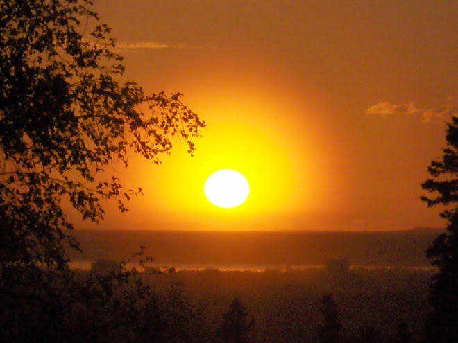
1 comment:
Wow, I never had any idea how beautiful Alaska is!! I've associated the tatina River with the Iditarod and I lucked out today Googleing "Tatina River". I'm a "Tatina" living in Colorado and I dream of taking this same trip you had taken with my three sons. Please send more information if you dont mind. Thanks William (Bill) M. Tatina
Post a Comment